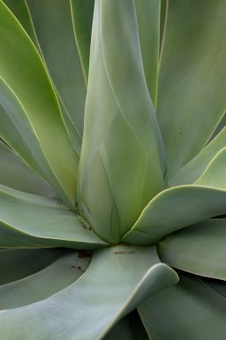
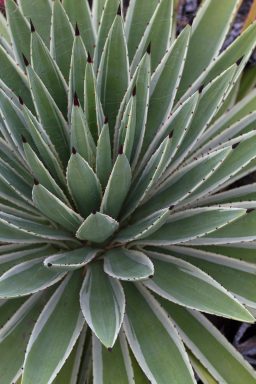
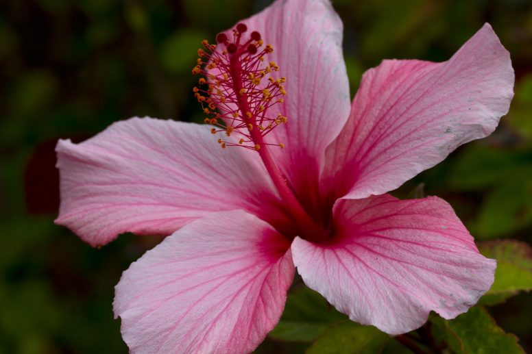
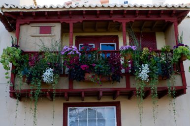
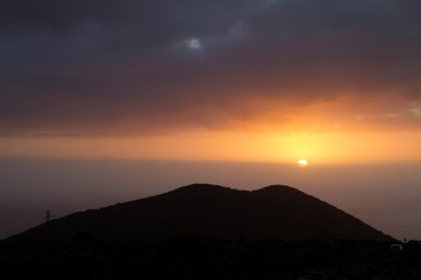
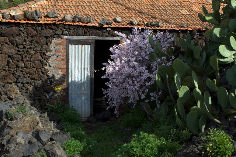
After being able to experience the beautiful almond blossom season in the north, we moved to the geologically younger and much drier southern part of the island, where we spent our second week on the island. Our home during the second week was in Todoque and set amongst a beautiful garden boasting many lovely plants and beautiful sunsets.
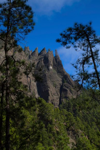
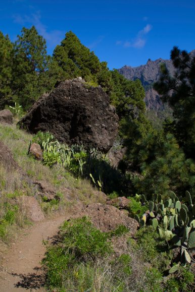
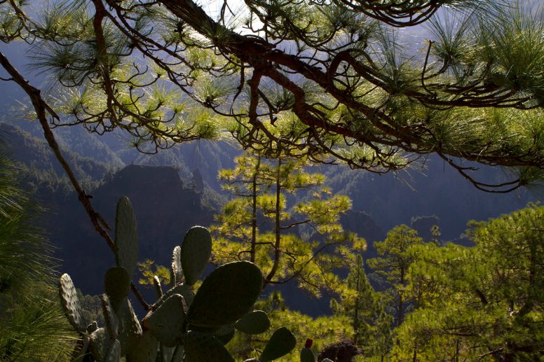
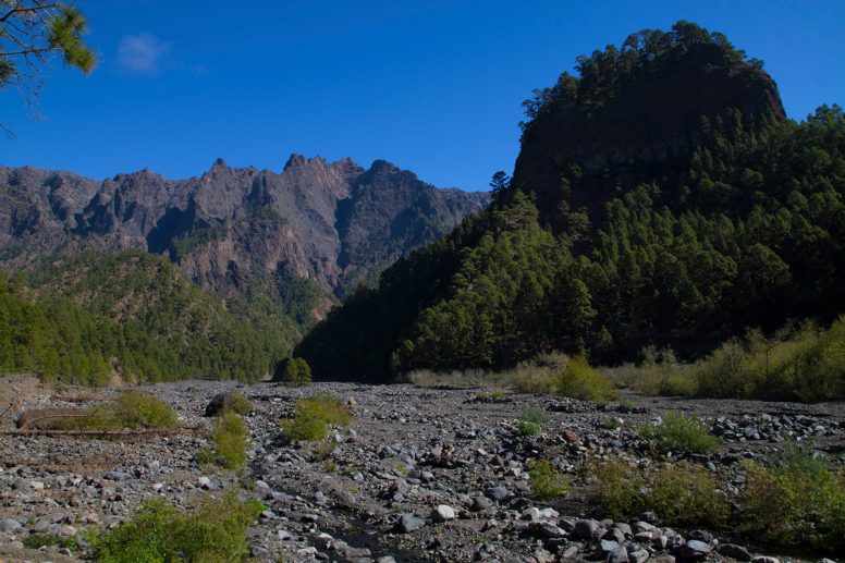
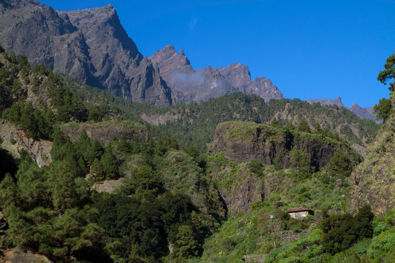
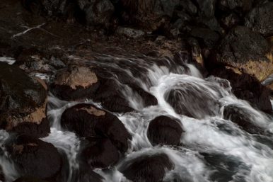
The first hike we went on after moving our home base was into the island’s Caldera de Taburiente, which is around 2 million years old. The first part of our hike lead us through pine forests until we reached the flat riverbed of the Taburiente River. As long as the river is withing the boundary of the national park, it’s visible. After leaving the park, there is the first hydro-electrec power plant and the amount of water left in the river is a tiny percentage until further down the gorge, it disappears.
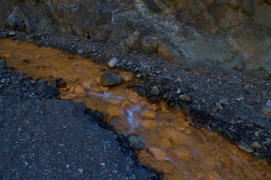
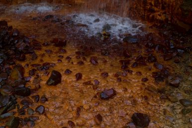
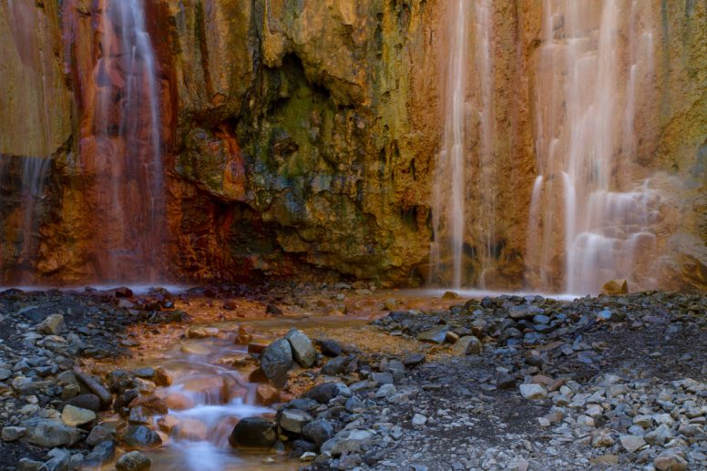
About halfway through the hike, there is a turnoff where two rivers comes together: one with clear water (Armendo Amargo) and one with orange water (Limonero). If you follow the orange colored water (due to iron in the water), you’ll find a pretty, if man-made waterfall which is colored in red, orange, yellow and green: la cascada de colores.
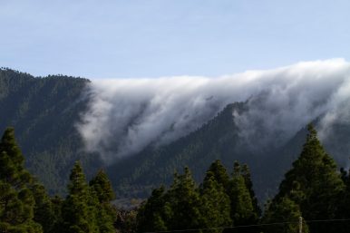
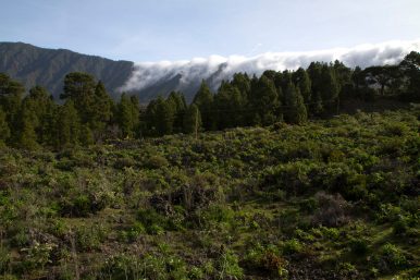
The island is divided geographically by a mountain range running north-south which can cause the weather on the island to be completely different on either side. A drive to the southern tip of the island was taken on such a day where the weather was sunny in the west and rainy and windy in the east.
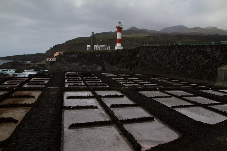
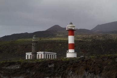
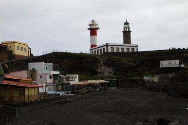
The Salinas de Fuencaliente on the southernmost tip of the island, is the only saline on the Canary Islands and produces salt for the islands. Right next to the saline, the new and old lighthouses stand.
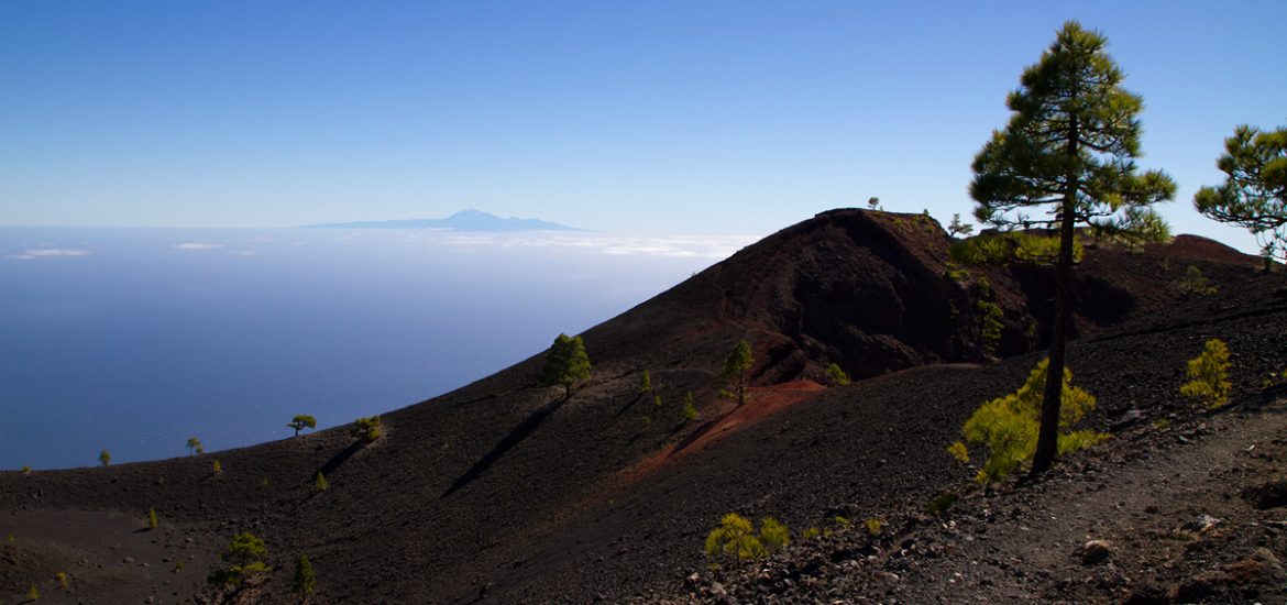
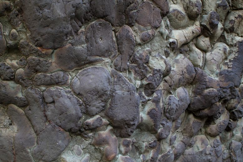
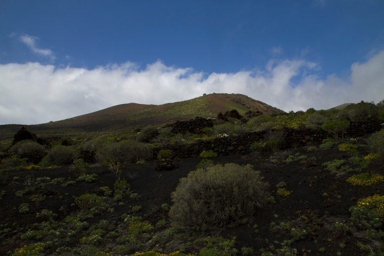
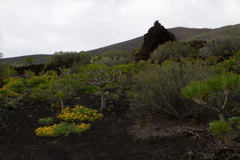
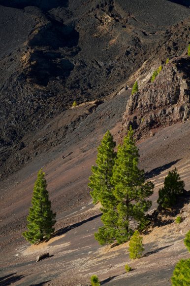
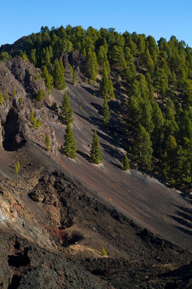
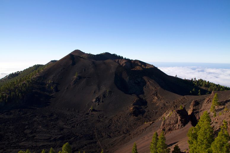
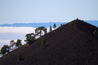
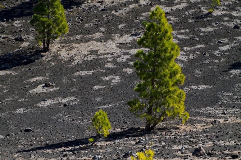
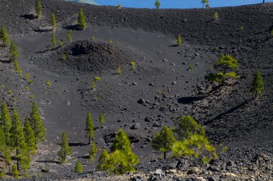
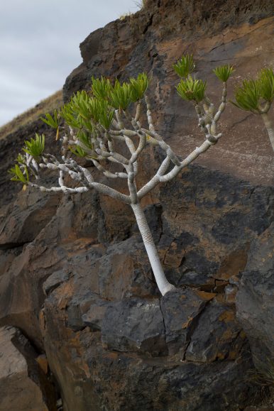
The area around the tip of the island are the newest. Vulcan Teneguia was the last volcano to erupt (1971) and the area around the volcano is still fresh, with very little vegetation and sharp rocks.
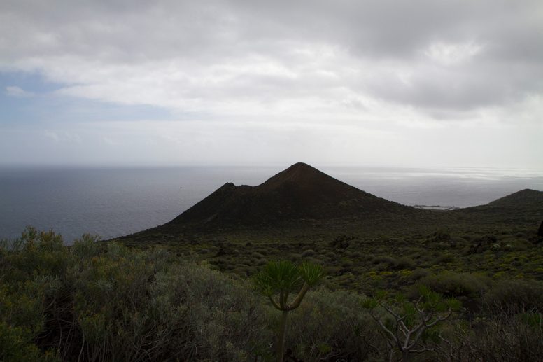
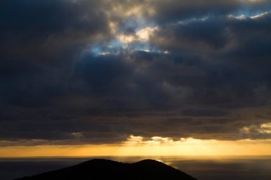
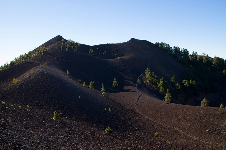
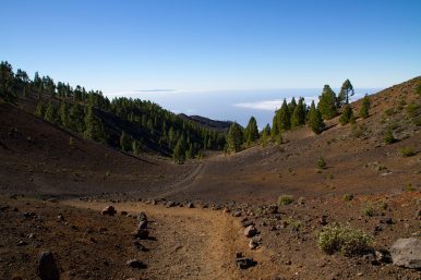
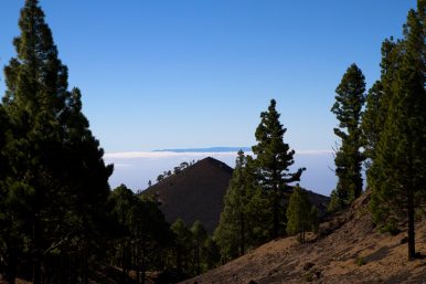
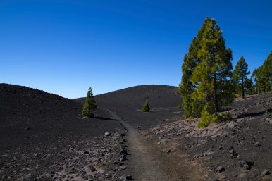
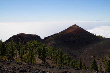
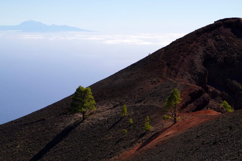
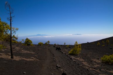
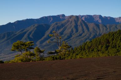
Our hike along the Ruta de los Volcanes was one of the most spectacular hikes we were on. We spent the day hiking about 1/3 of the island, starting at older volcanoes and ending at the southern tip, where the newest volcano erupted in 1971.
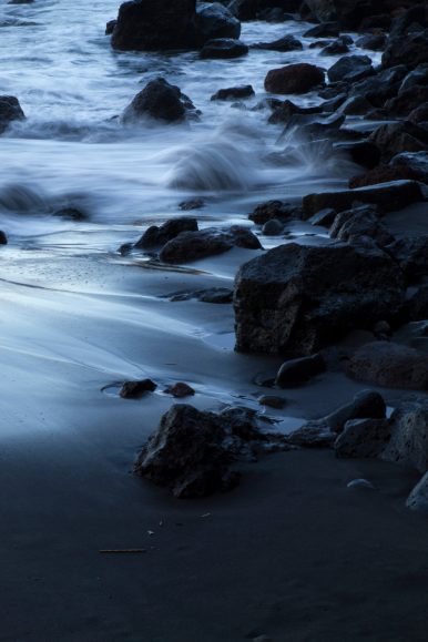
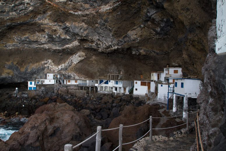
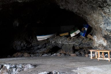
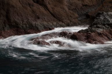
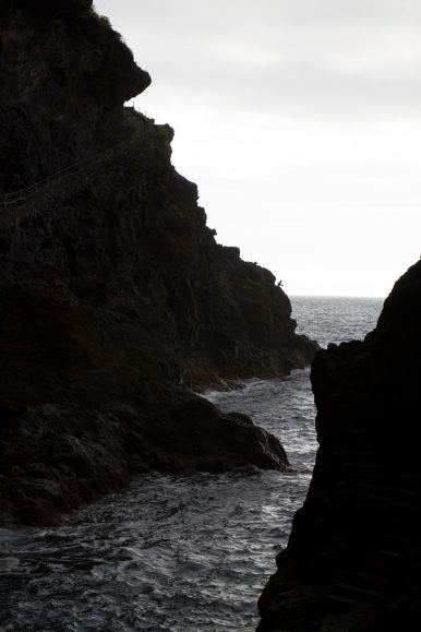
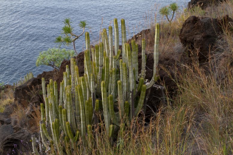
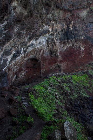
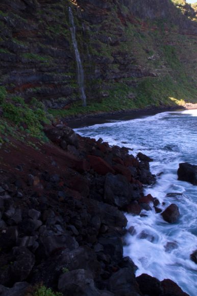
Along the rocky western coast, there are many coves and one is particularly well hidden. It is known as the smuggler’s cove as it isn’t visible from land and it has a history of importing and exporting forbidden goods. On summer weekends this place is bustling with people enjoying the sea, but it winter there is not a soul and it’s just a little bit creepy.
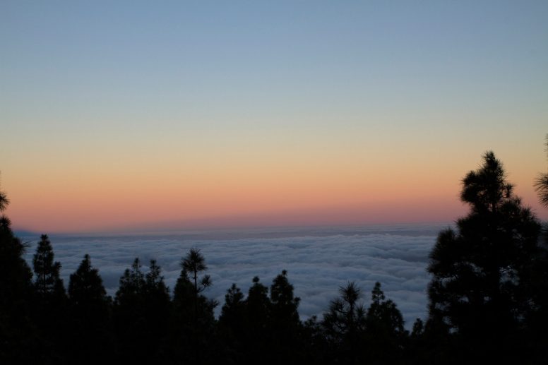
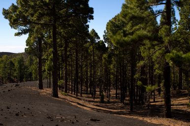
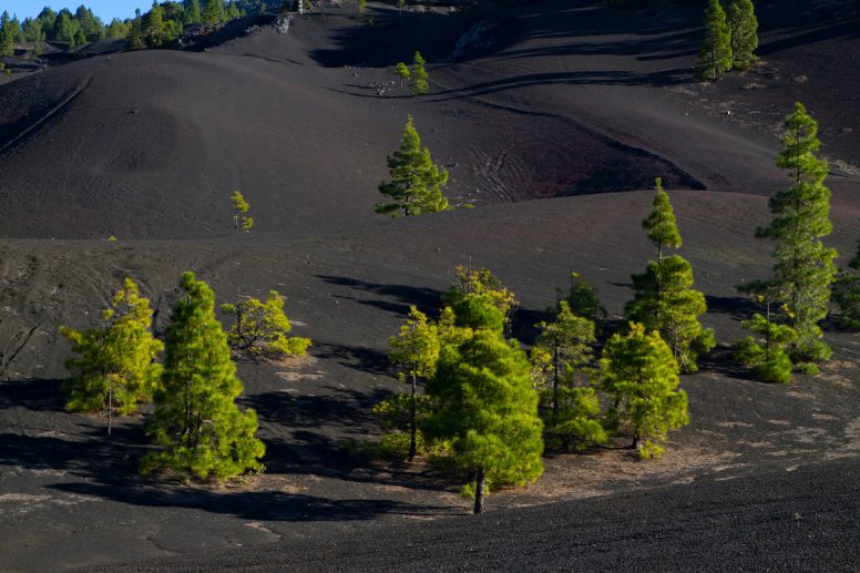
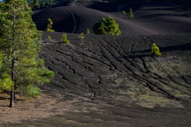
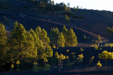
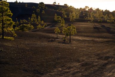
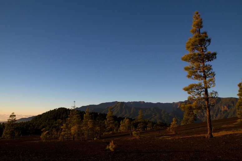
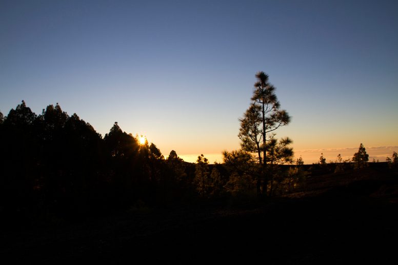
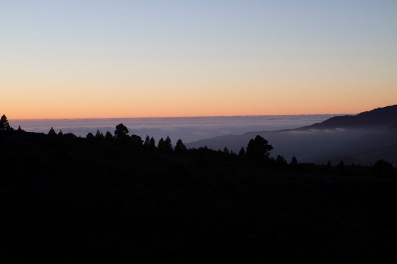
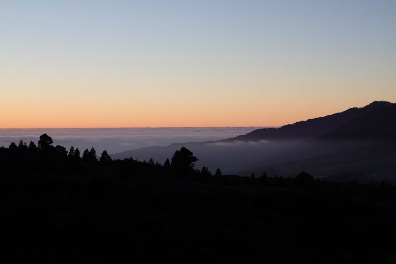
A postcard in a shop, led us to search for and photograph the trees at sunset in the Llano del Jable, a black plain with green trees.

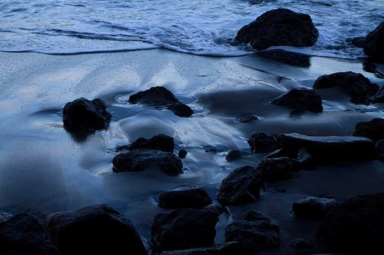
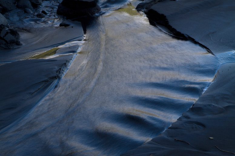
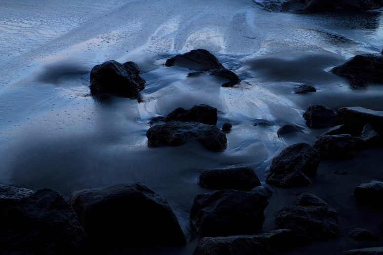
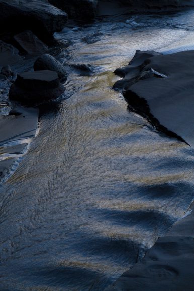
Towards the end of our trip we decided to visit a few towns and stop at what is often called La Palma’s most beautiful beach, Playa Nogales.
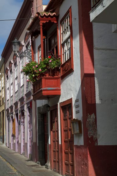
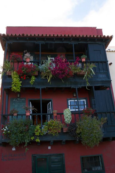
Tazacorte
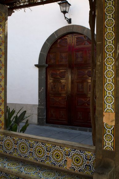
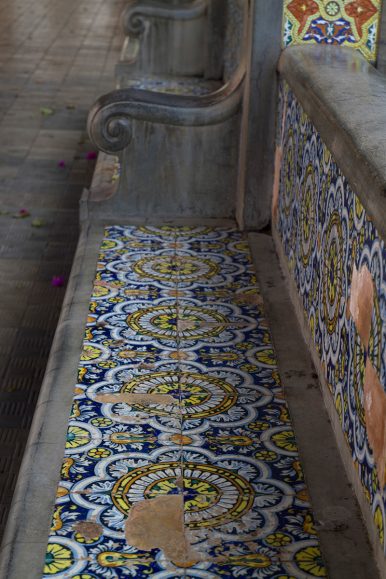
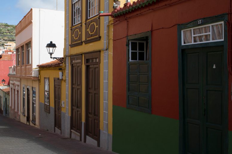
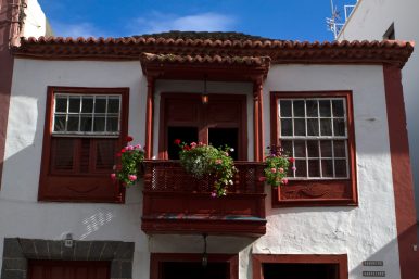
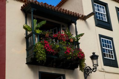
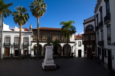
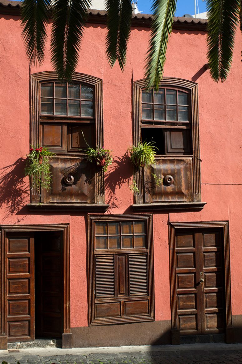
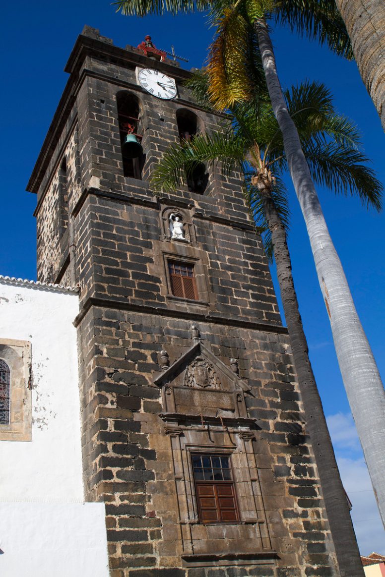
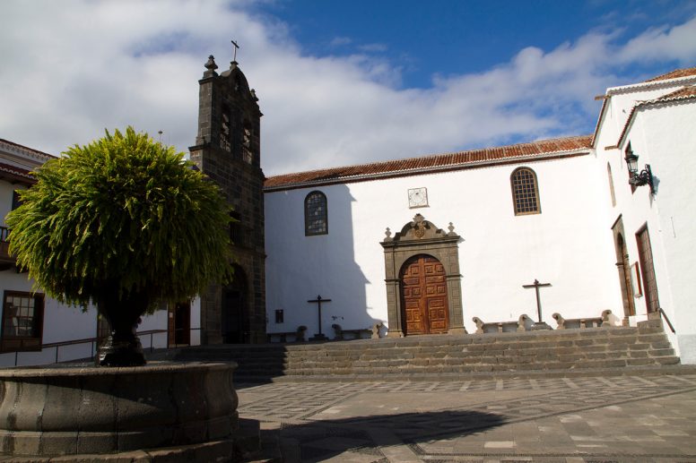
Santa Cruz