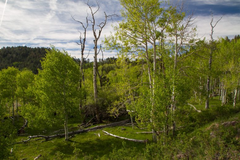
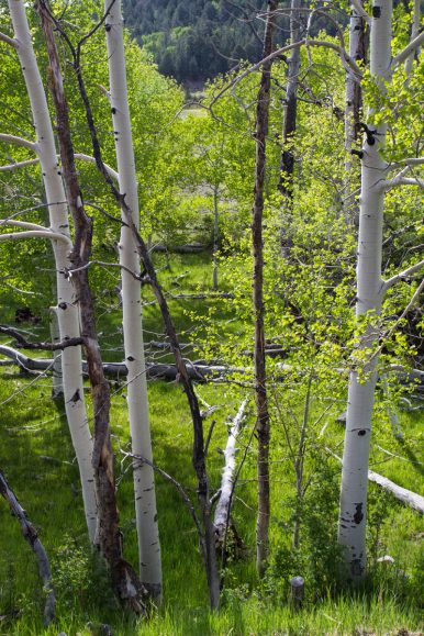
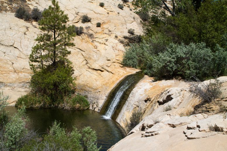
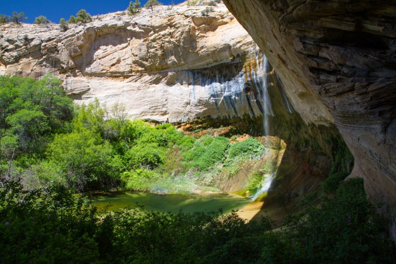
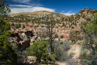
Connecting Capitol Reef and Bryce Canyon National Parks, Utah’s Scenic Byway 12 has something special around every corner. Had we had more time, it would have been fun to explore the area more. Our journey started in Torrey in 2000m, took us across the Boulder Mountain Pass at 2926m and then to Bryce Canyon National Park between 2400 and 2700m. The vegetation changed constantly and was anything between birch forests near the pass and dry brush in the desert. Not able to pack everything in a day, we settled on a hike down to Upper Calf Creek and through the Petrified Forest State Park with a cooling swim in the frigid waters of the Wide Hollow Reservoir.
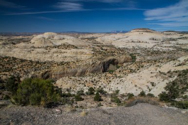
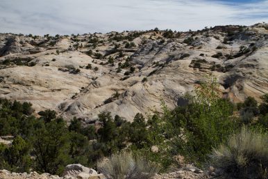
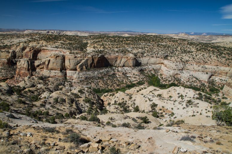
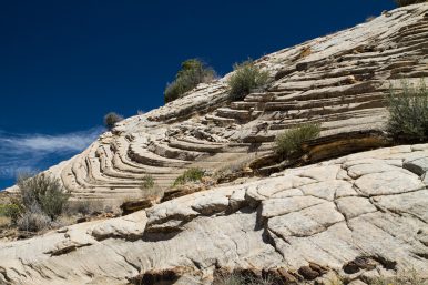
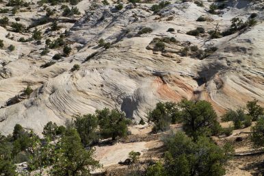
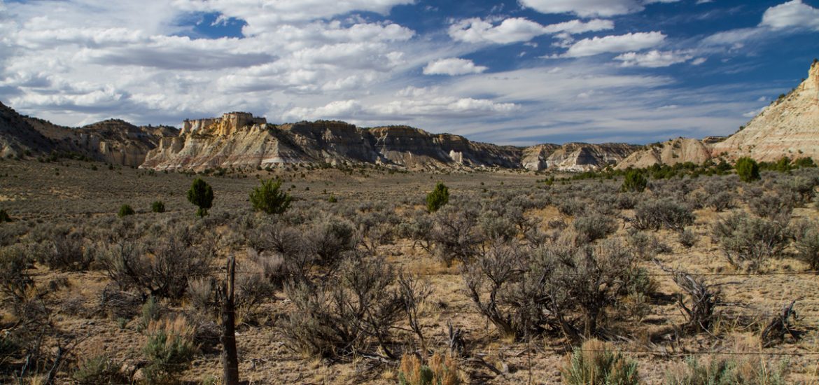
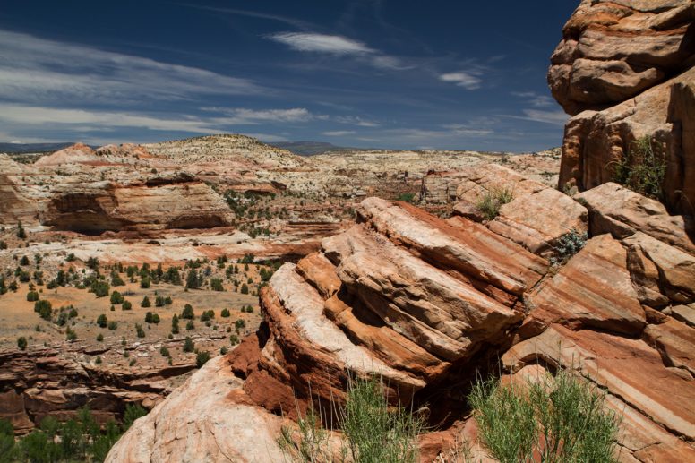
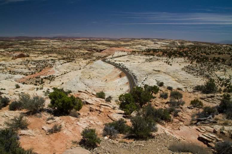
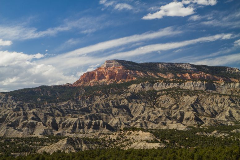
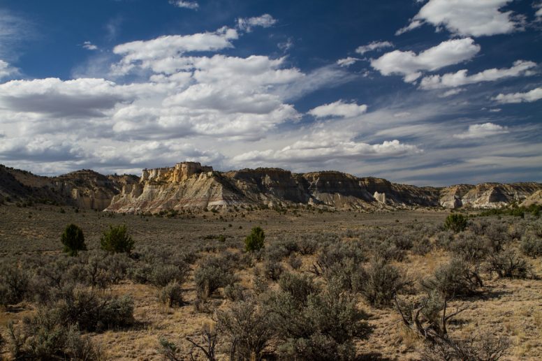
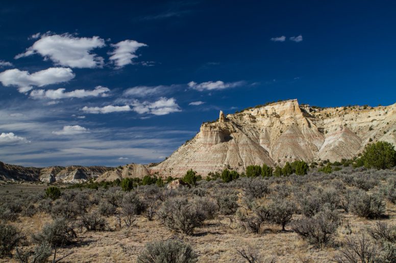
This area was one of the last mapped areas in the United States and standing at the Head of the Rocks Overlook, it’s easy to see why. The desert is dry and forbidding looking. Still, when standing high above the cream-and-red sandstone formations that were once sand dunes, I feel a sense of calm. The warm breeze pulls at my hair as I stand there observing the road snaking through the colorful slickrock.
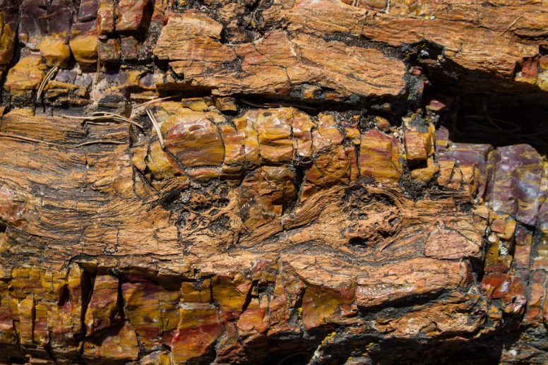
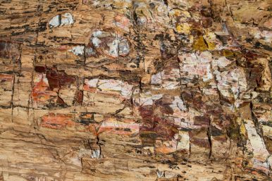
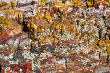
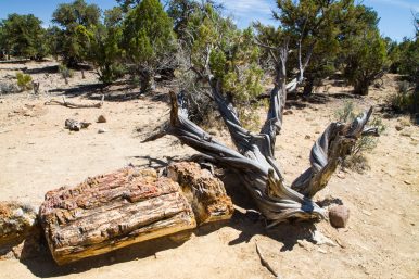
The Petrified Forest State Park reminded me somewhat of the petrified logs I saw many years ago at the Petrified Forest National Park in Arizona. Since we wouldn’t be going there, I convinced my husband that he must see the logs we were to pass by on our way to Bryce Canyon. The trail was hot, dusty and dry, and I’m sure he was silently cursing me as I happily led him past trees that were over 150 million years old. But even he had to admit that the minerals in the petrified wood sparkled like gems and the fact that the bark was still visible was amazing.
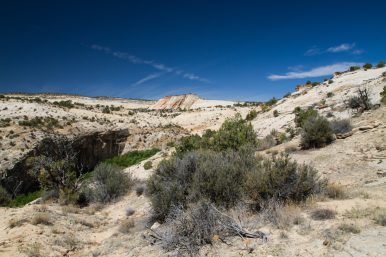
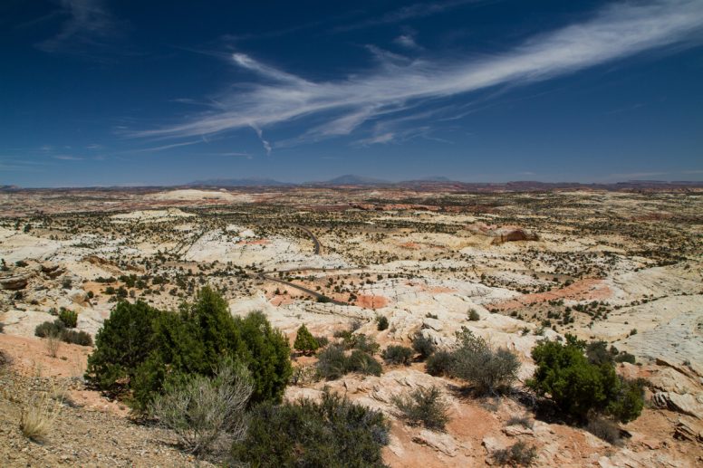
And then the desert changed colors yet again as we came closer to Bryce Canyon National Park.


I love the way you captured the colors and textures of the canyons, what skies as contrast!