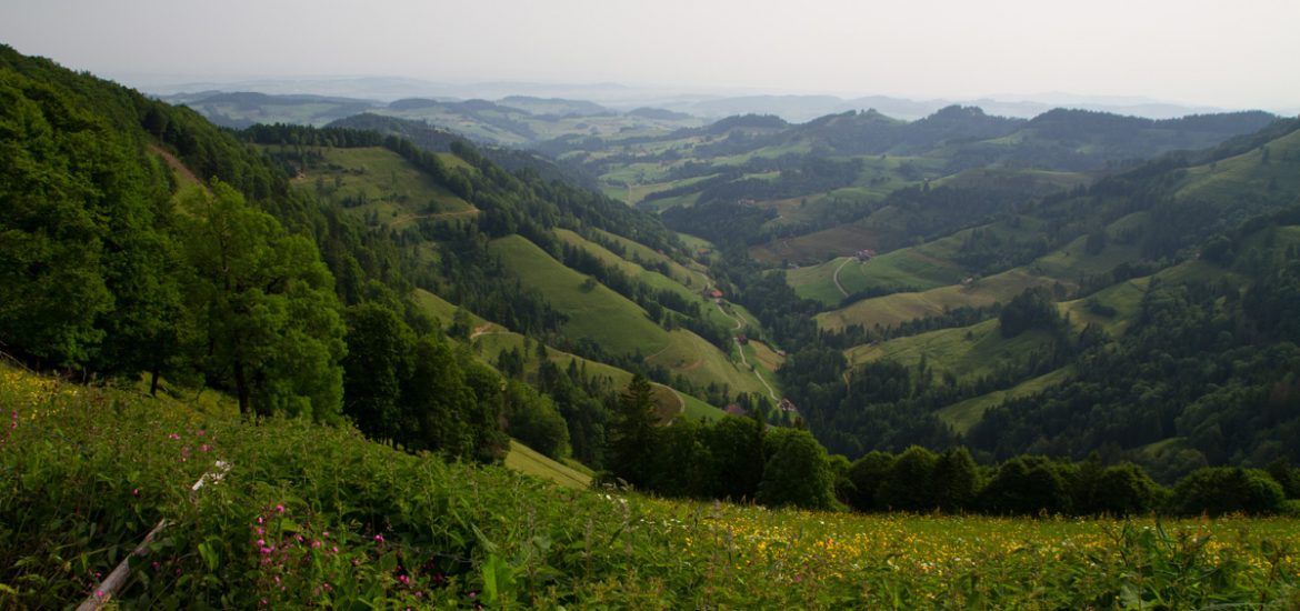
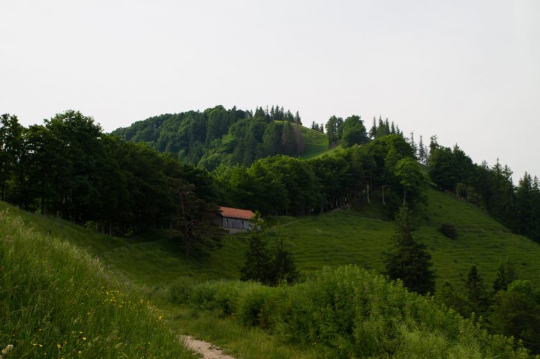
Earlier this year I decided I needed to hike up to the top of the highest mountain in the Canton of Zurich. It happens to not even be that far away from where I live, so on a hot and muggy morning I headed to the trailhead and started hiking.
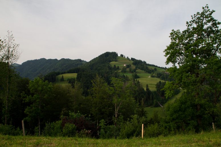
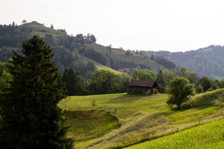
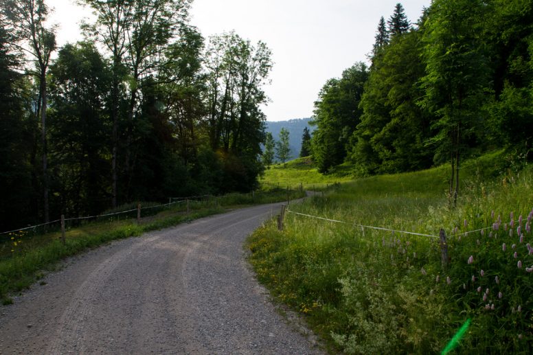
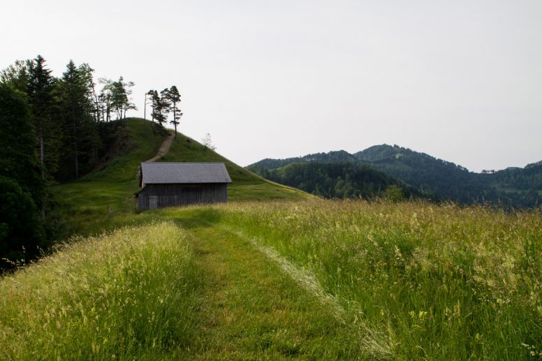
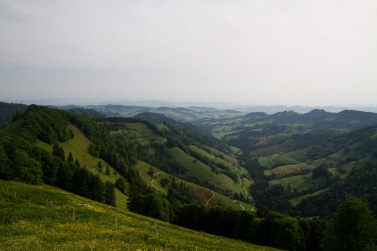
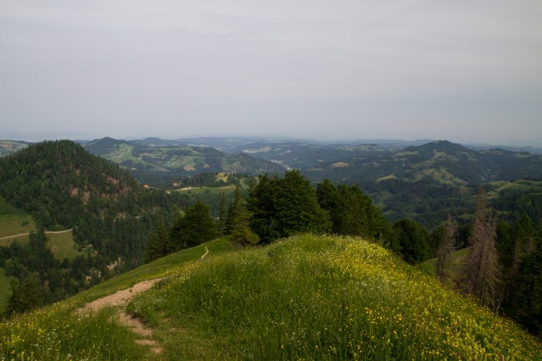
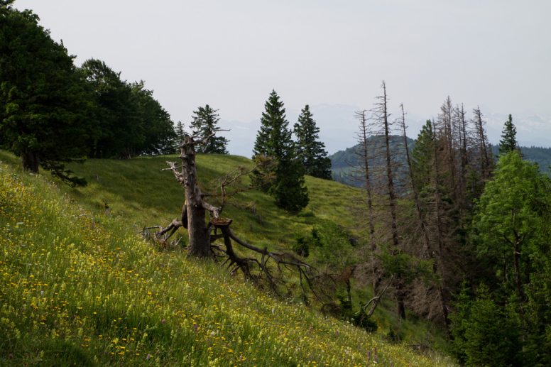
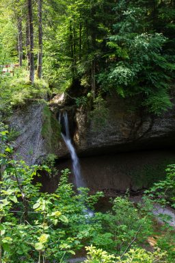
At 1,292 m (4,239 ft) Schnebelhorn is by no means a high peak or a difficult hike, but it was very enjoyable. The trail winds through pastures and forests. On a clear day, it’s possible to see Lake Zurich and the Alps but it was very hazy and at the summit I had almost no view.
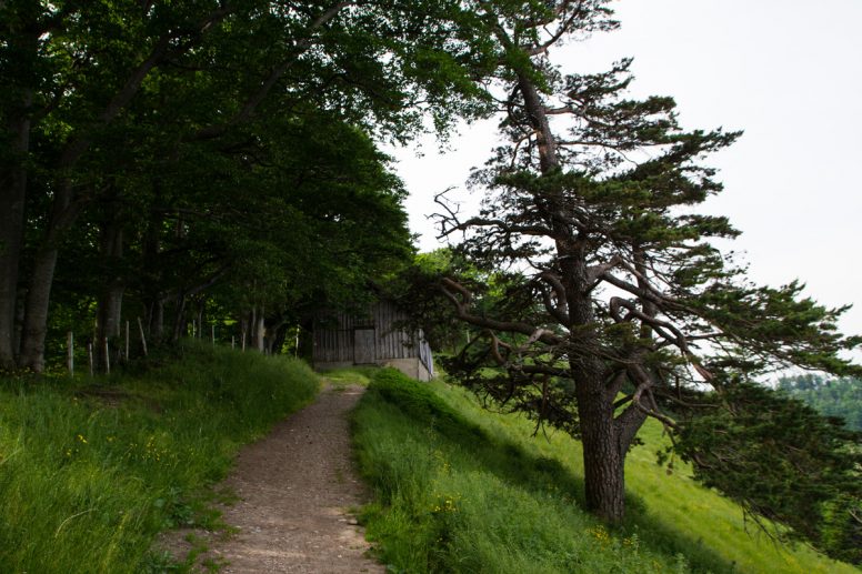
Due to the early hour, I was on the trail by myself and the only people I came across was a group of trail runners who stopped at the summit and asked me to take their picture.
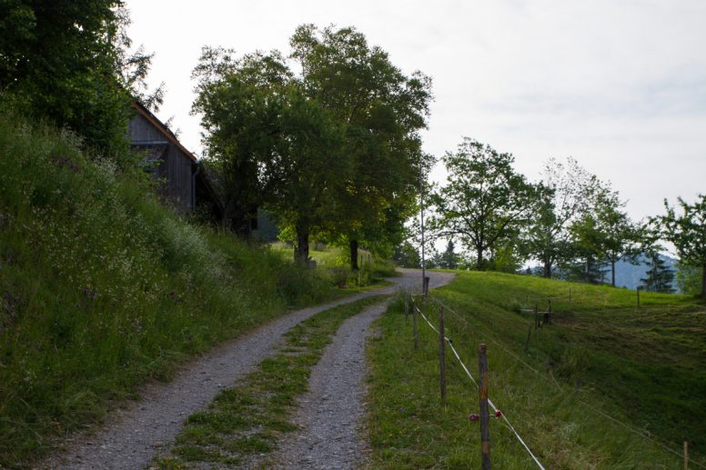
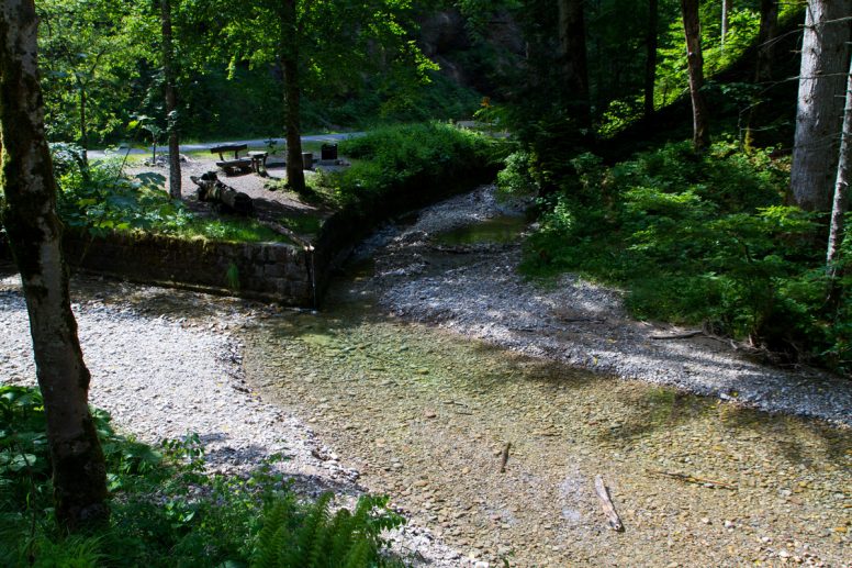
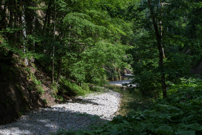
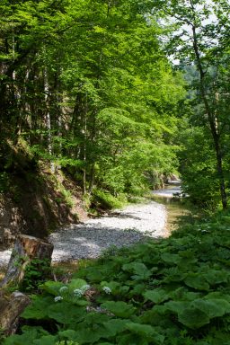
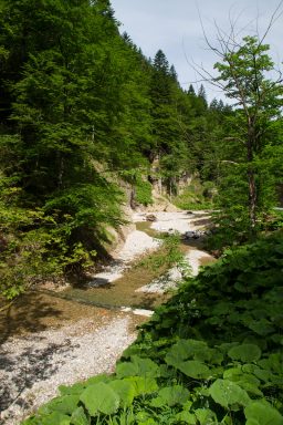
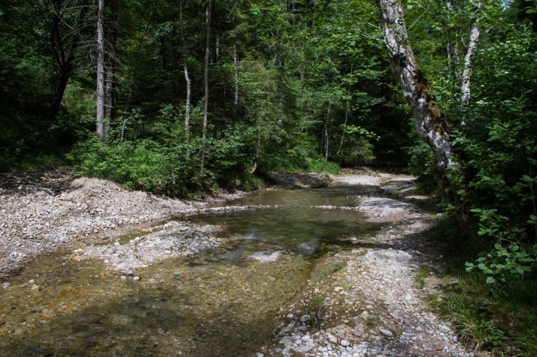
The trail down in the valley hits the confluence of the Vordertöss and the Hintertöss and turns into the Töss. After after about 11 km (6.8 mi) the river joins the Rhein. It was interesting to see where this small river, almost creek, begins.


What a picturesque hike! It’s so Switzerland, too 🙂 All green and neat and tidy–love it! Hugs from the other side of the pond!
What a pleasant hike through a beautiful landscape. I wish I could have been there with you.
So, so beautiful, even with a hazy sky. I can’t even imagine what it would be like on a clear, sunny day! You’re so lucky to have amazing places so close to home.